
Ideas
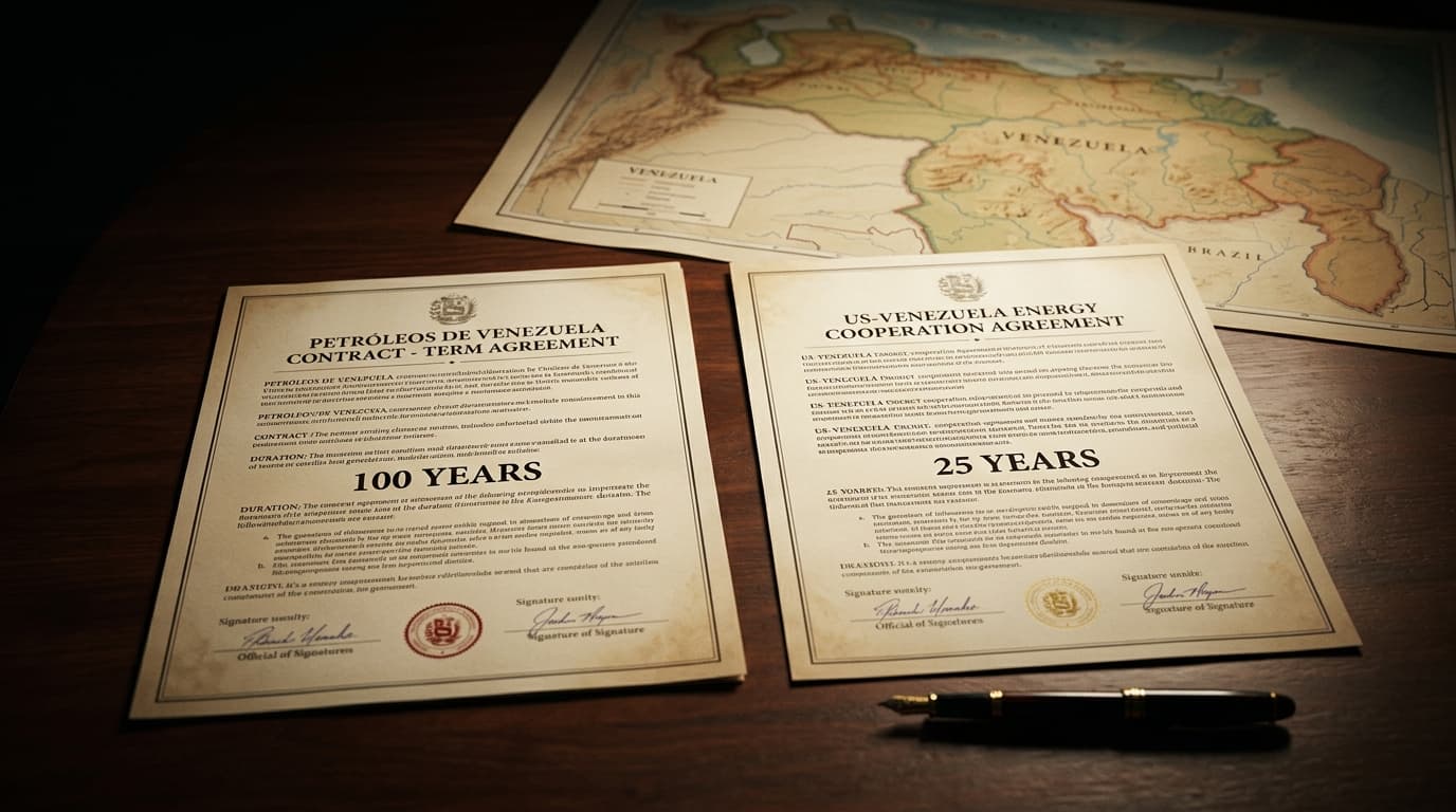
100 years or 25? The two versions of the us-Venezuela deal
The White House claims a 100-year concession for Venezuelan oil. Delcy Rodríguez says 25. Discover the facts without taking sides.
Understand the UN recommendation for a new official world map and how science explains Africa's true size relative to the globe.
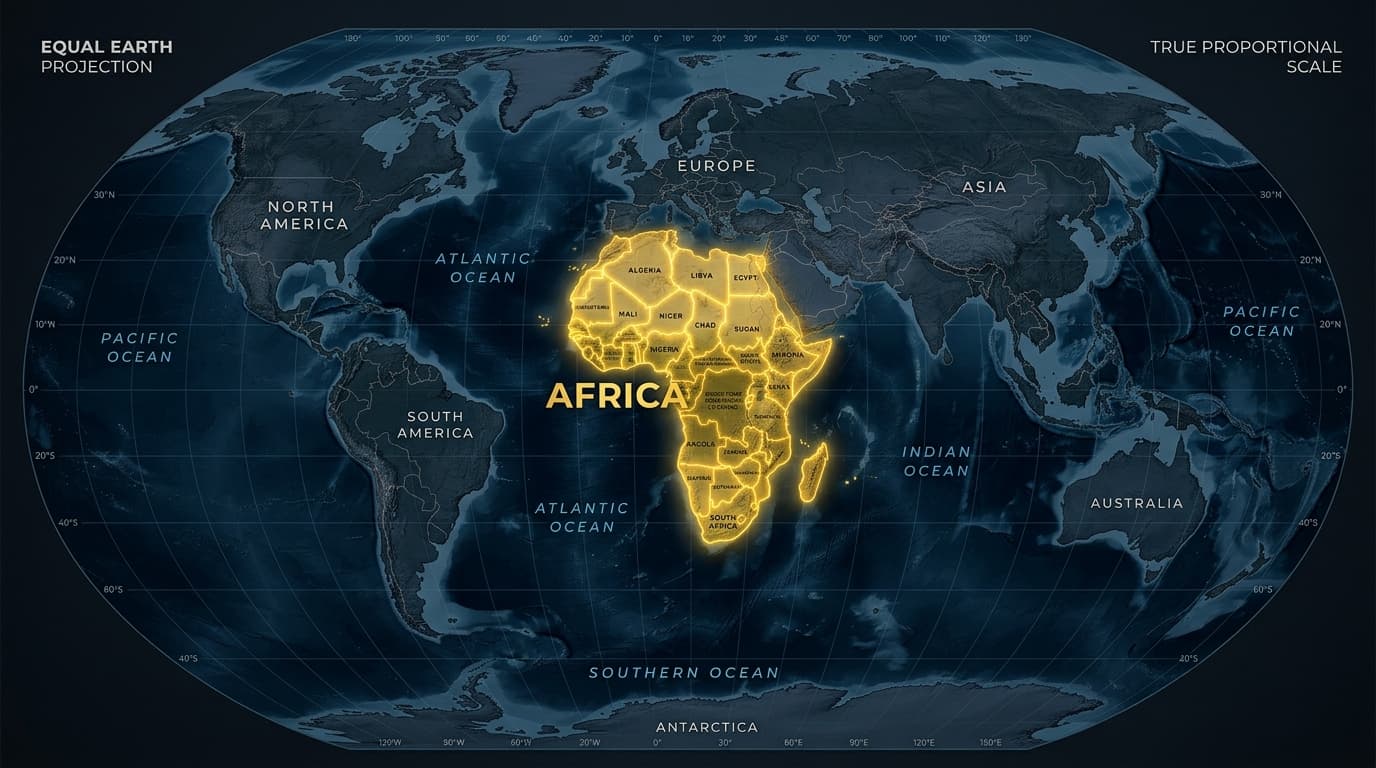
Anyone who spent time in a classroom over the past few decades likely remembers the world map on the wall showing Greenland and Africa as roughly equal in size. Most people accepted that layout without question. But geographic reality is quite different, and a recent UN recommendation has put continental proportions back at the center of global discussion.
On September 4, 2026, the United Nations General Assembly passed a resolution submitted by Togo and backed by the 54 member states of the African Union. Voting 164 in favor, the assembly recommended adopting equal-area projections, such as Equal Earth, to replace the Mercator map in educational and institutional settings.
True size difference
Africa covers 30.37 million square kilometers—fourteen times larger than Greenland (2.16 million sq km)—despite appearing equal on traditional wall maps.
This distortion began in 1569, when Flemish cartographer Gerardus Mercator designed a chart tailored for ocean navigation.
Sailing ships needed to plot straight compass bearings across long distances. Mercator solved this by creating a conformal cylindrical projection, a mathematical approach that keeps local angles and coastlines accurate.
That design choice came with a geometric trade-off: landmass scale expands as distance from the Equator increases toward the poles. Temperate and polar regions in the Northern Hemisphere, including Europe, Canada, Russia, and Greenland, appeared enlarged. Meanwhile, equatorial regions such as Africa and South America retained closer proportions to their actual scale, making them look smaller next to the expanded North.
Mercator created his map to guide ships in 1569. The shift occurred in the 19th and 20th centuries, when textbook publishers adapted a sea navigation chart as the standard map for teaching geography in schools.
No map is neutral. The choice of a projection shapes how we view the world. Adopting an equal-area projection in schools educates people to understand the true scale and significance of Africa and the Global South.
Recommending a new cartographic format raises a practical question: why was a perfectly accurate flat map not made from the start?
The answer lies in geometry. In 1827, German mathematician Carl Friedrich Gauss proved in his Theorema Egregium that projecting a three-dimensional sphere onto a flat plane cannot be done without altering area, shape, or distance.
Because of this mathematical constraint, every projection must prioritize one aspect over another:
The resolution passed at the UN forms part of the "Correct the Map" campaign, led by the African Union and Togo to adjust how geography is presented in education.
The recommended model, the Equal Earth projection, was created in 2018 by Bojan Šavrič, Tom Patterson, and Bernhard Jenny to offer an accurate representation of continental land areas.
On an Equal Earth map, Africa's true area stands out clearly. At 30.3 million square kilometers, Africa is the second-largest continent on Earth. This proportional scale is important when analyzing global topics and understanding the socio-economic development of the African continent.
For context, Africa's total land area could accommodate the entire landmasses of the United States, China, India, Western Europe, and Japan combined, with remaining space left over.
Adopting equal-area maps influences how students view continental proportions and global geography.
Countries such as France have begun updating public school textbooks with equal-area maps. As these guidelines spread, standard classroom materials are moving toward representations that match physical continental dimensions.
Maps influence how people perceive global relationships. By endorsing equal-area projections, educational systems and international organizations bring printed and digital maps into closer alignment with physical geography.
Share this article with anyone who might find it useful.

Author
Programmer and blog author.
I write about technology, marketing, cinema, games, and culture.
Discussion
Leave your thoughts on this article.
Loading comments...
Recommended reading
The White House claims a 100-year concession for Venezuelan oil. Delcy Rodríguez says 25. Discover the facts without taking sides.
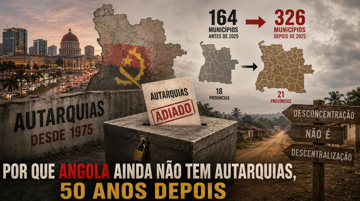
Since 1975 law promises local elections in Angola. Discover the coincidence between MPLA's loss in Luanda and doubling municipalities in 2025.
MPLA has never lost an election in Angola. If it loses in 2027, will the country return to civil war? We analyze the facts without alarmism.